Moderately difficult hiking that is suitable all year round (part of the trial is usually covered with snow during winter).


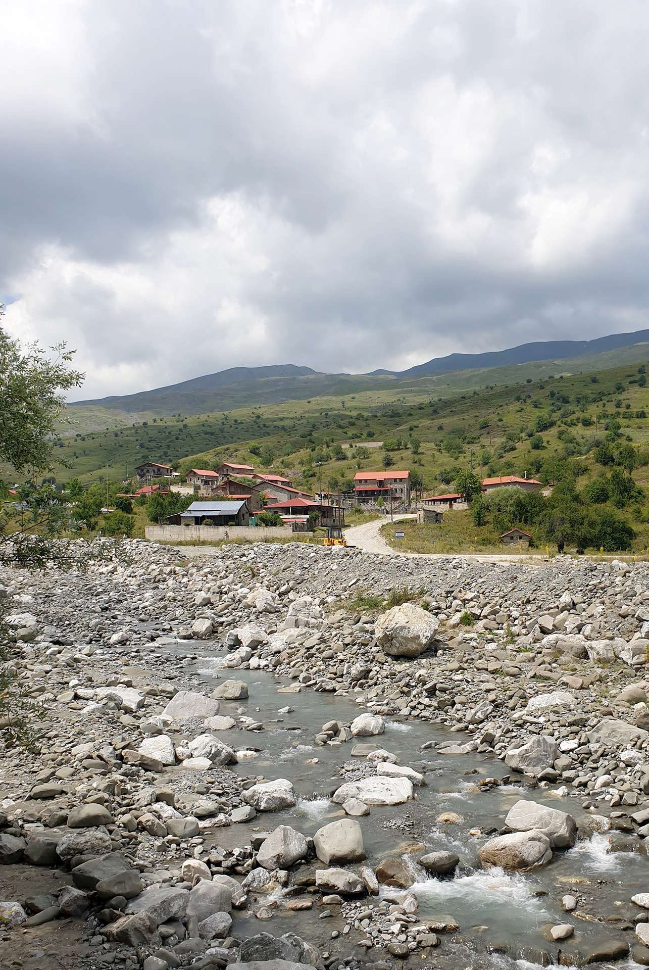
Grammousta until recently appeared on the maps as ruins of Grammos; it boasted about 3,000 inhabitants at its peak with many thousands of goats and sheep grazing in the rich mountain meadows of Mt Grammos.
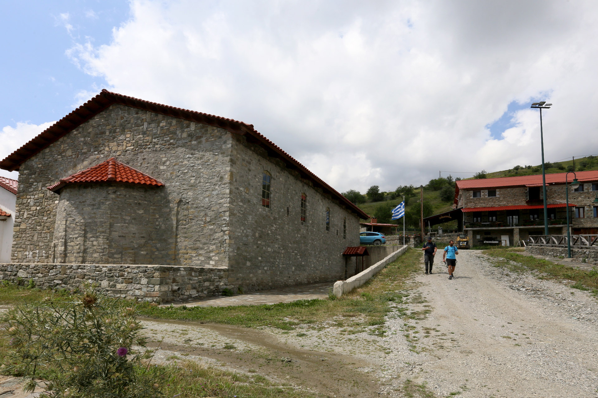
The region’s main sources of wealth during the Turkish occupation were livestock, as well as icon painting and the silversmith craft.
Grammousta had experienced other disasters in its long history, but the Civil War dealt the final blow.
Our route shall follow in the footsteps of ancient Vlahostrata, the trail that was followed for centuries by the inhabitants of Grammousta with their herds, who took the journey twice a year between the vast pastures of Mt Grammos and their winter quarters around Kastoria Lake, as well as the trade route through which people and goods moved.
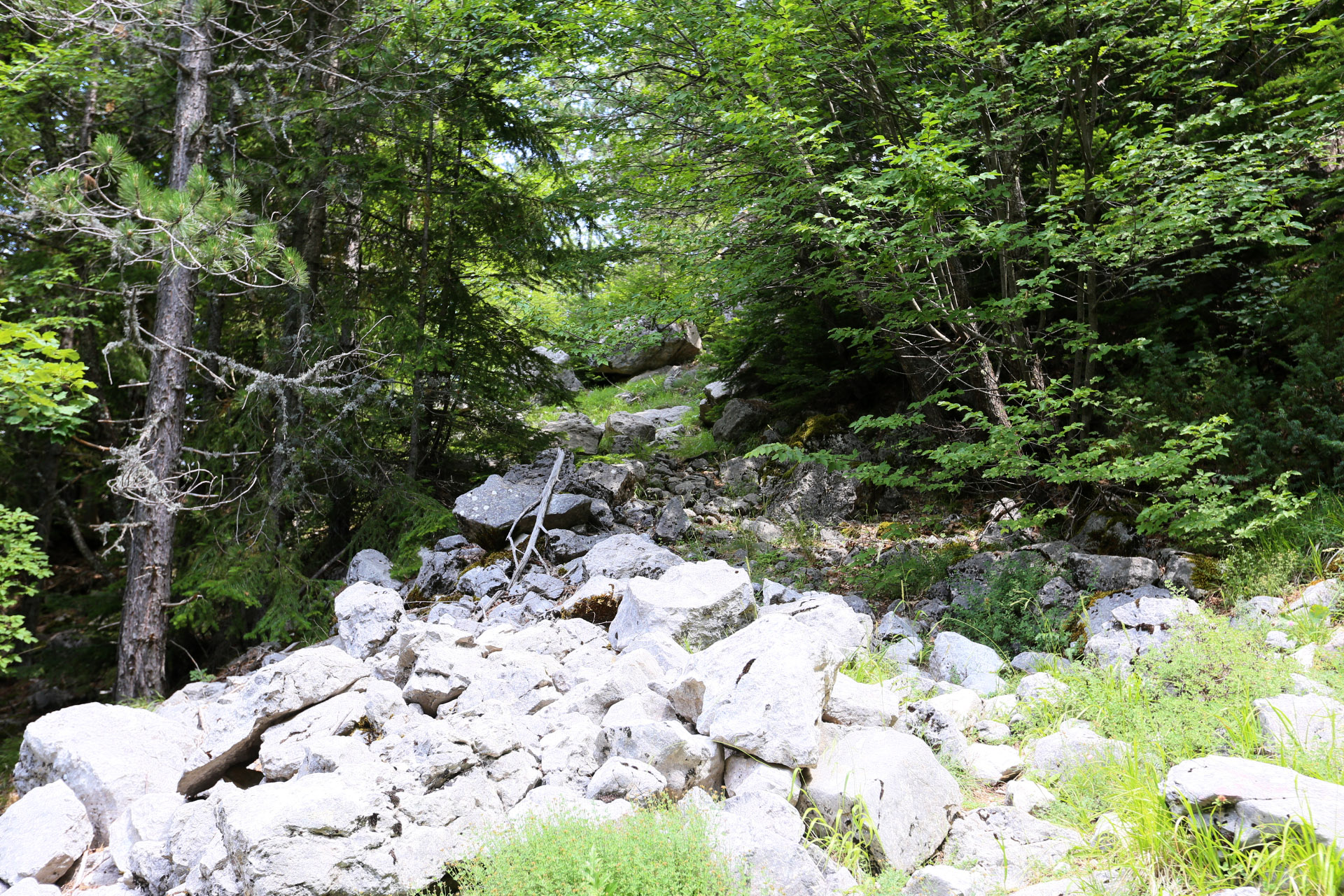
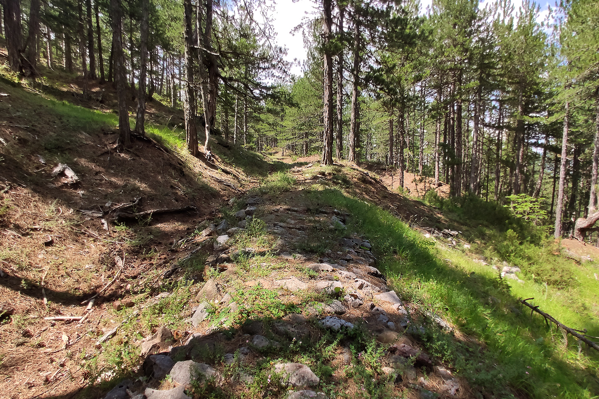
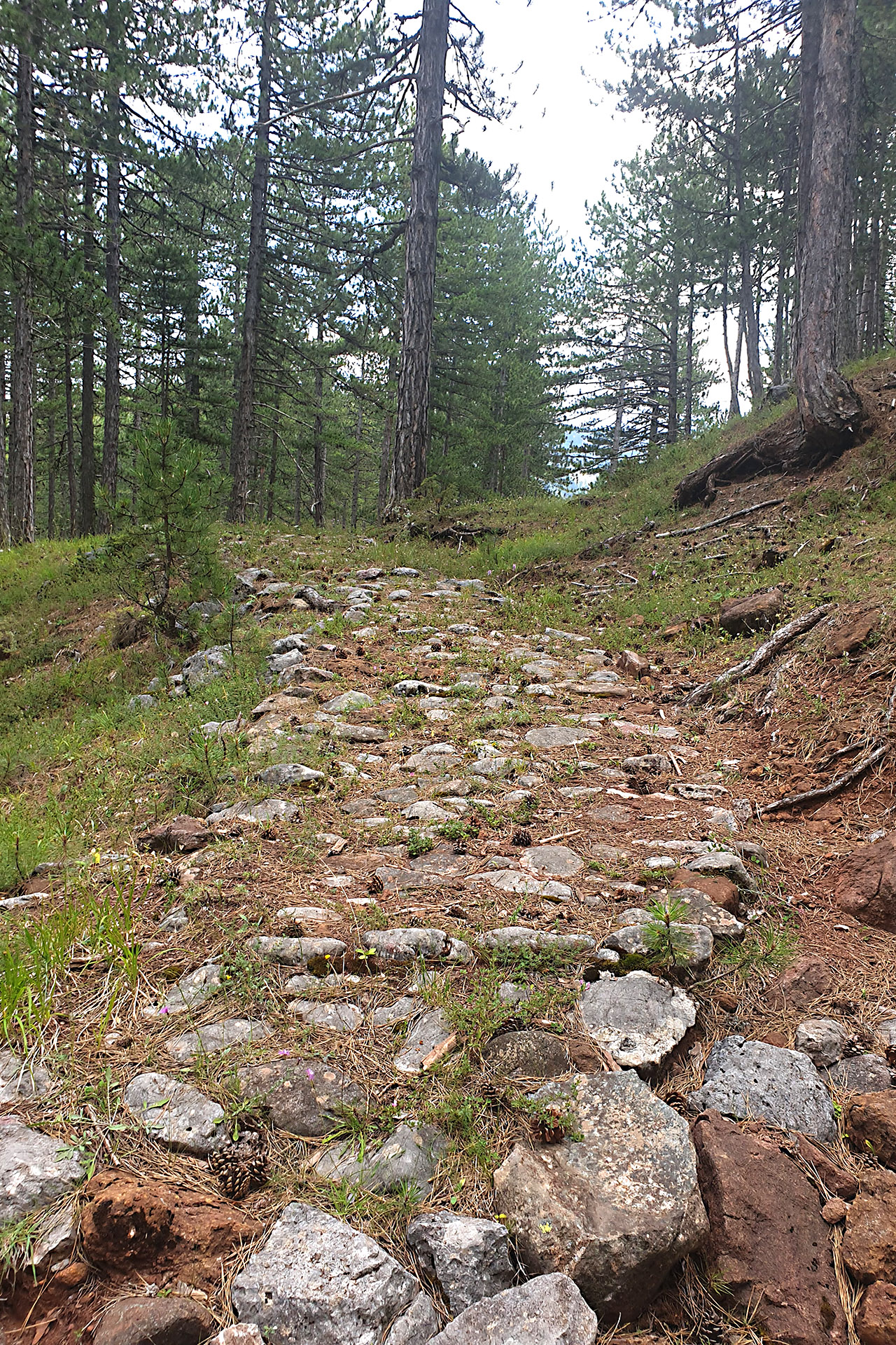
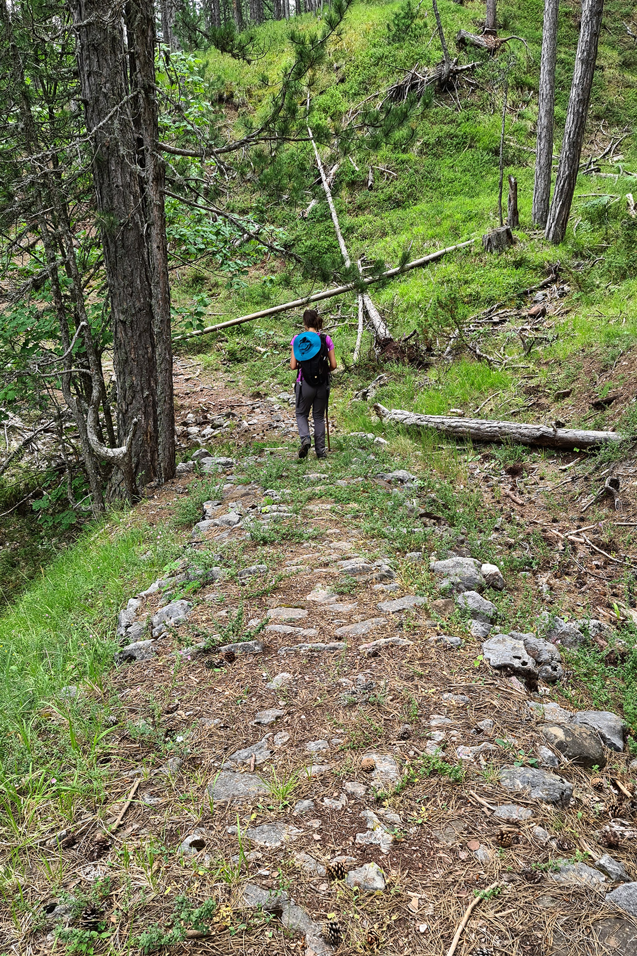
It was laid with stone and had a width capable of accommodating a cart. Nowadays, the stones have been lost in most parts and a part of the trail has been covered by a forest road.
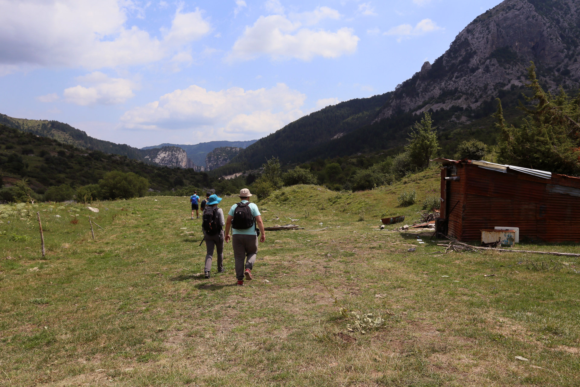
We start at a forest road from the village and soon leave it by following the path marked with posts that have been installed by the local forestry office.
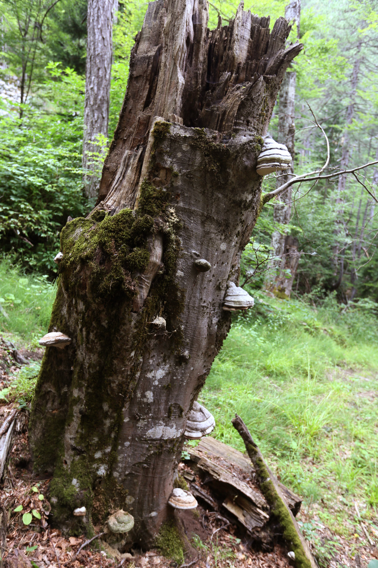
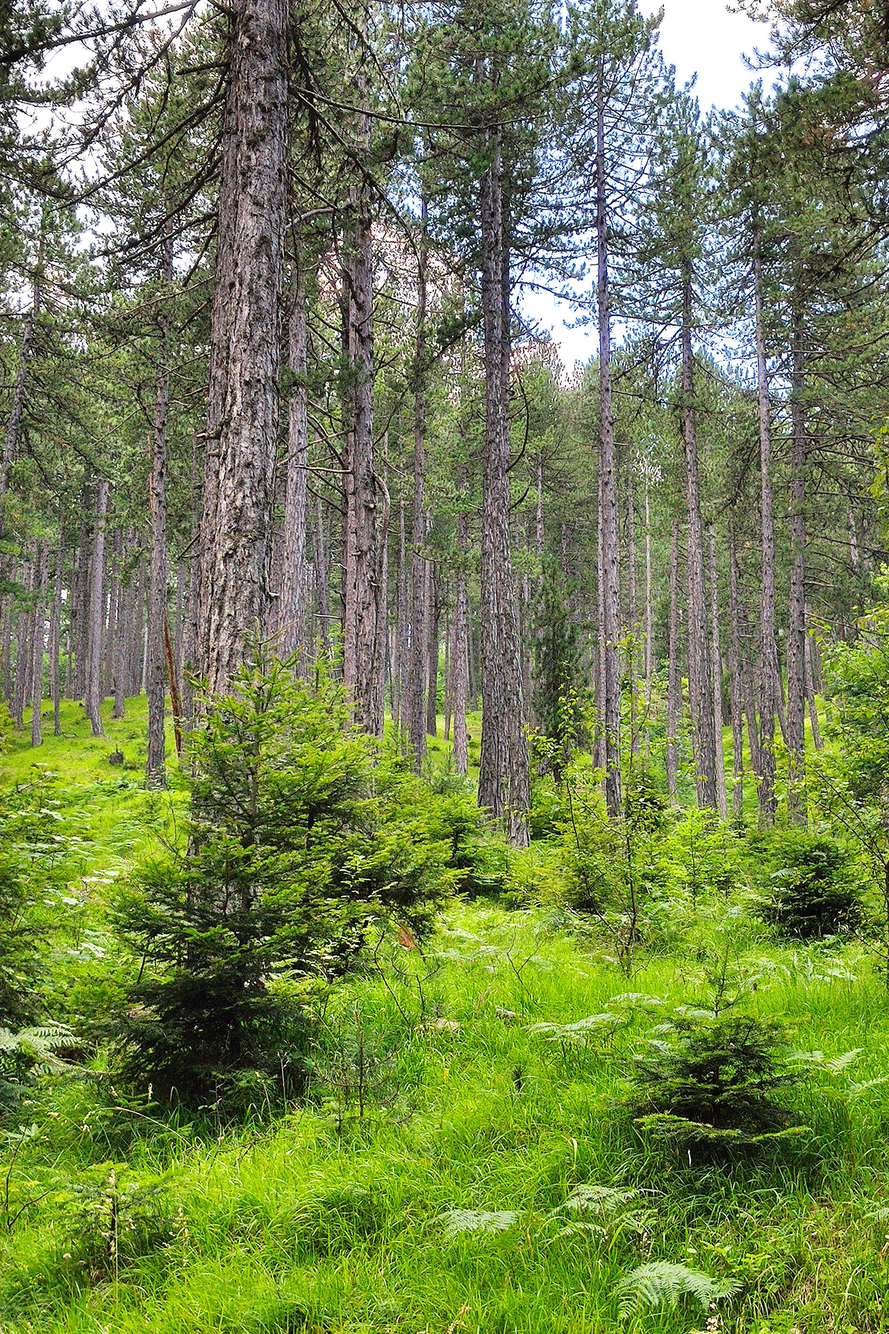
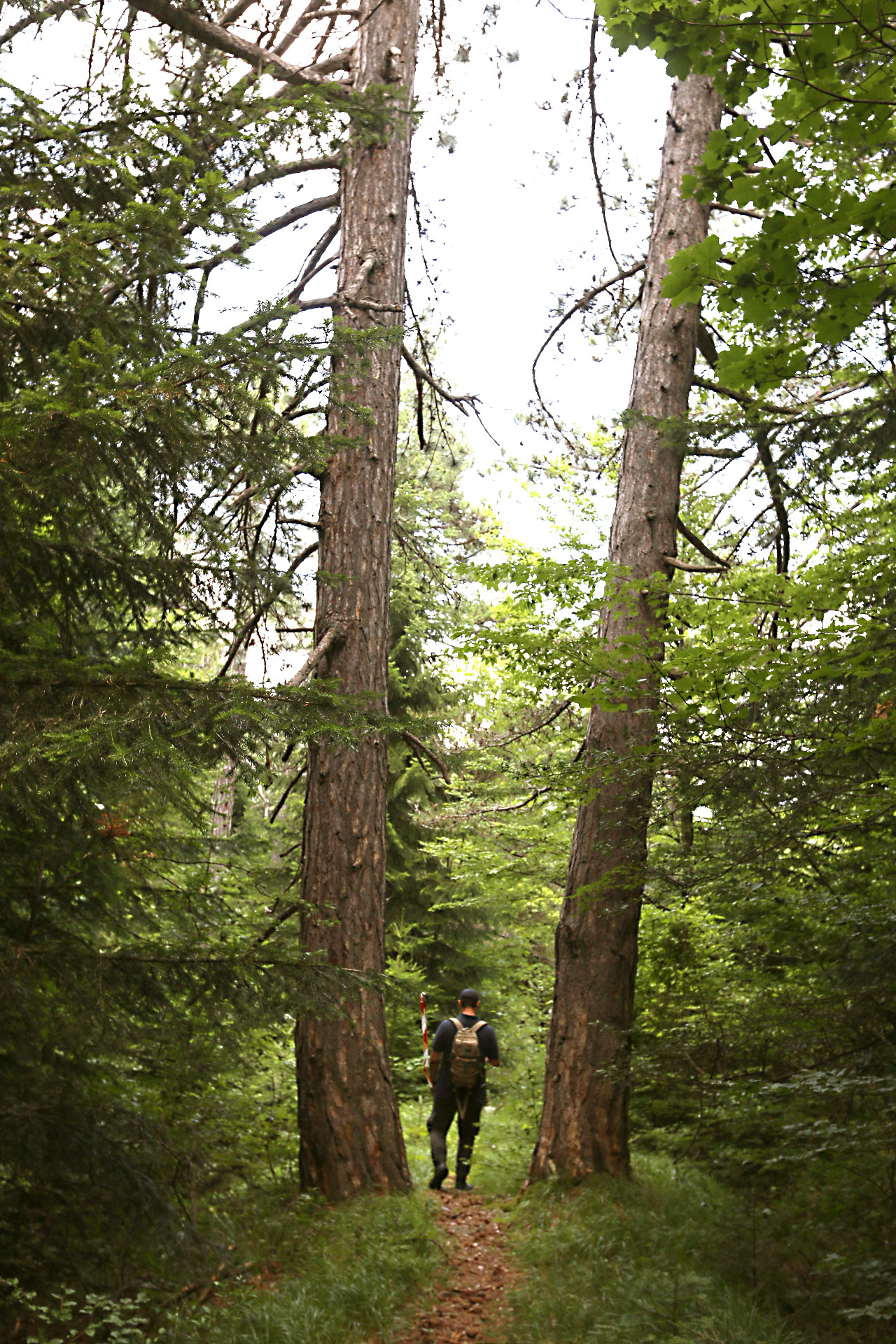
The path is divided and we follow the lower branch (near the river) that is also marked. In the initial section we cross open areas with wild fruit trees but we gradually enter a forest with black pine and clusters of beech trees.
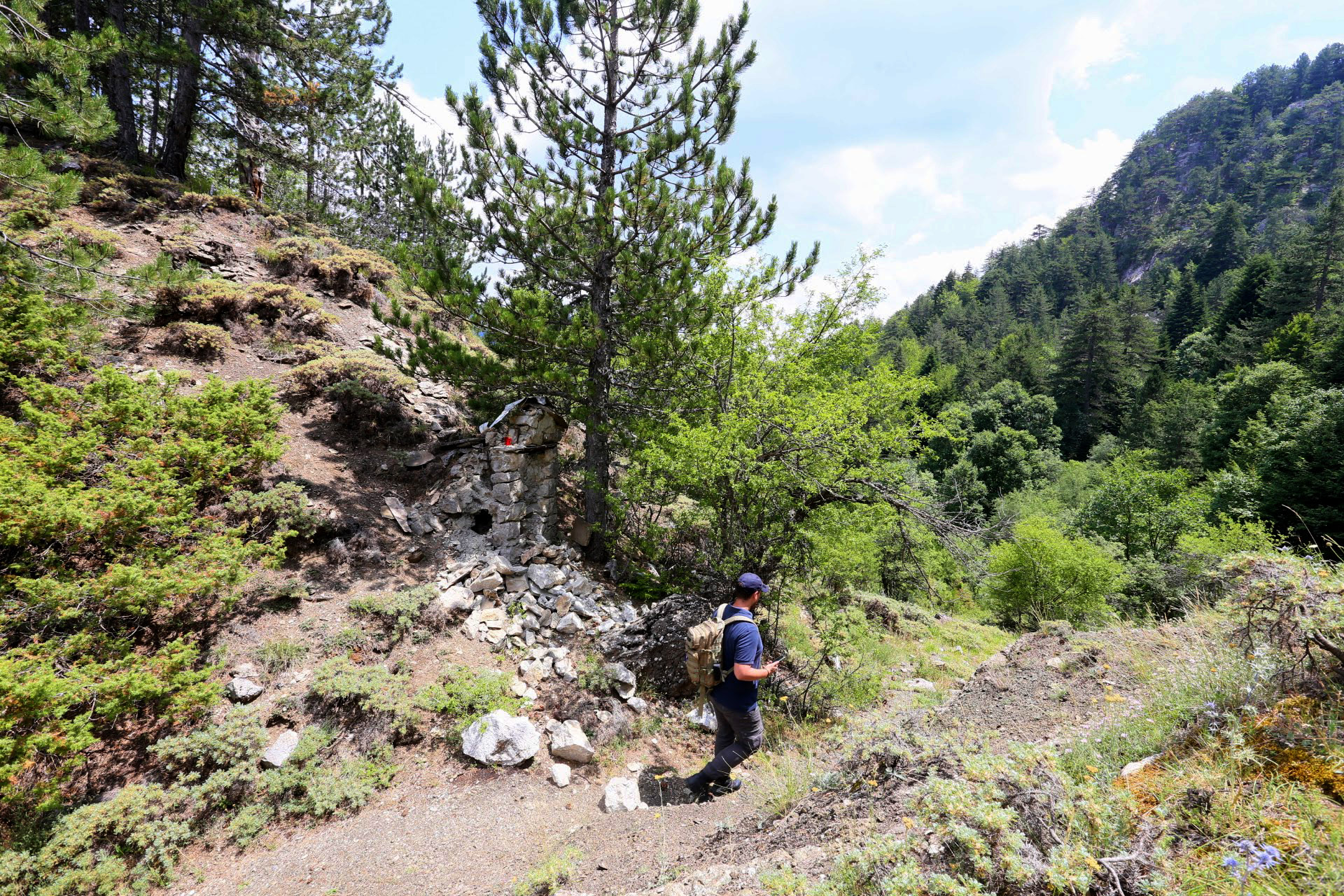
There is a large stone icon at the highest point of the route.
We descend into a dense forest and exit onto a dirt road.
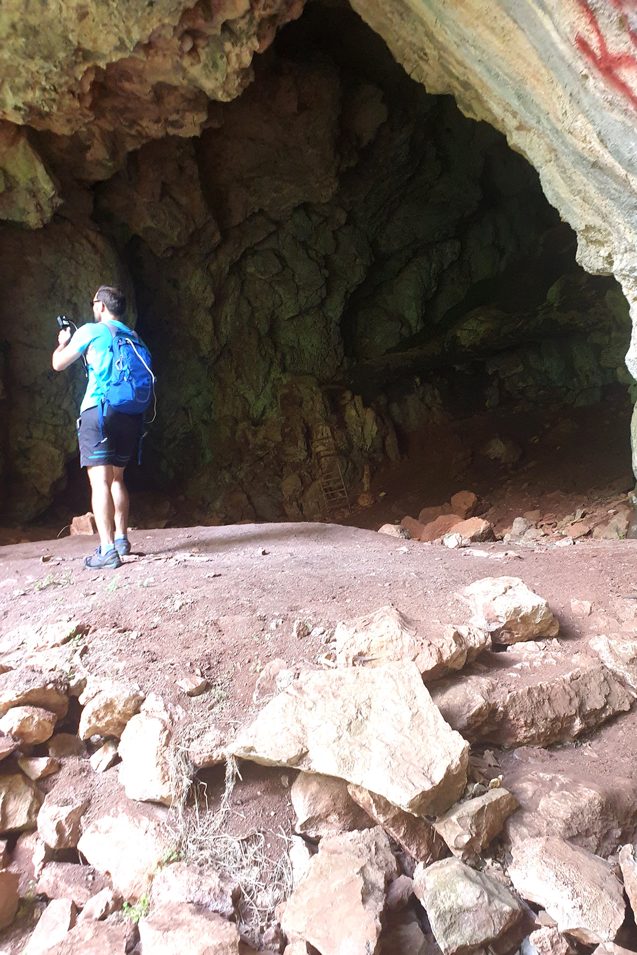
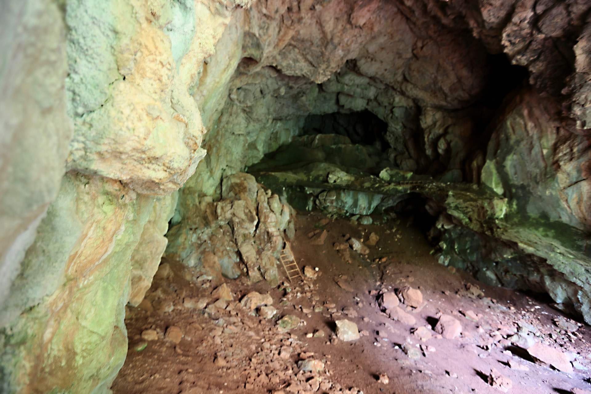
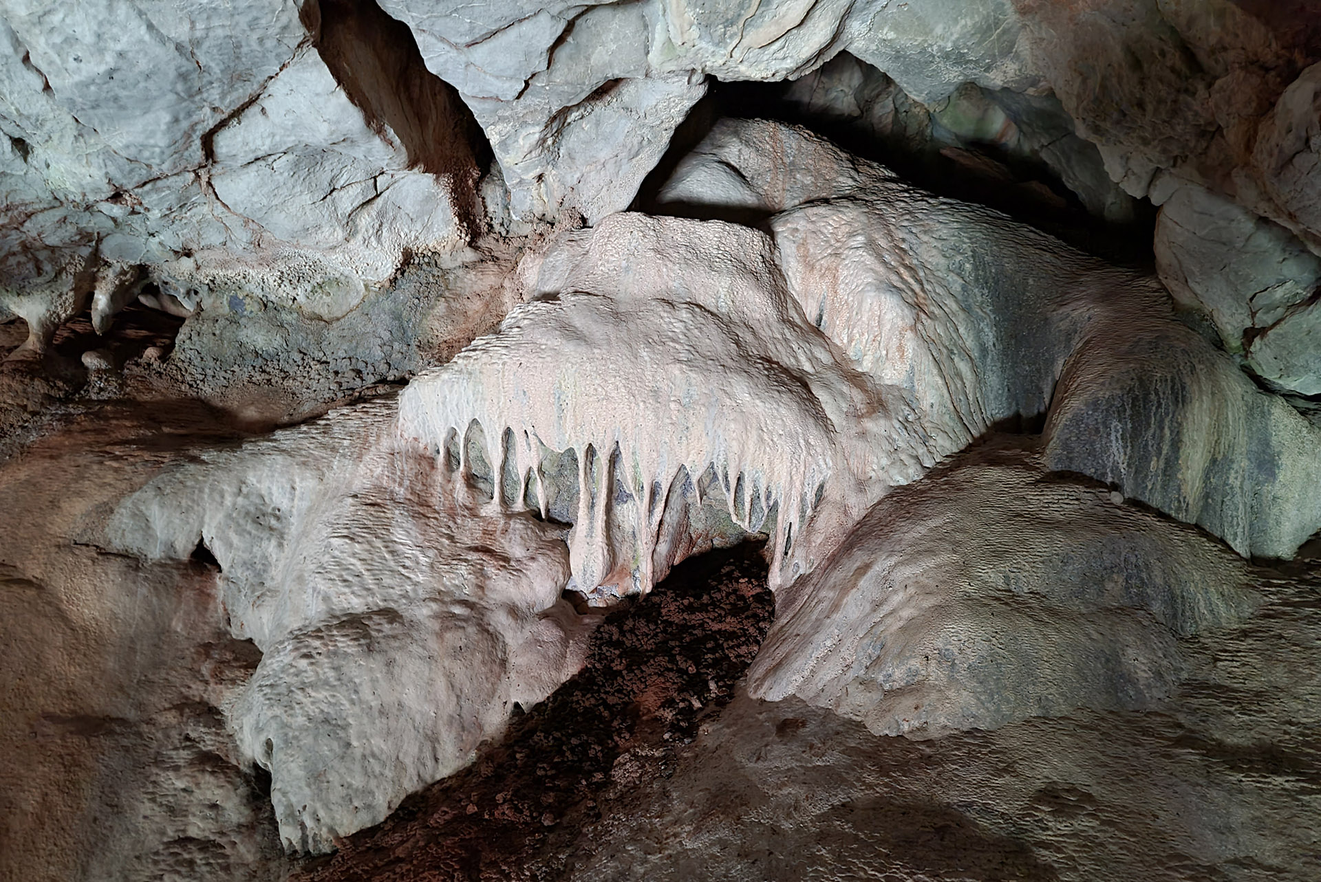
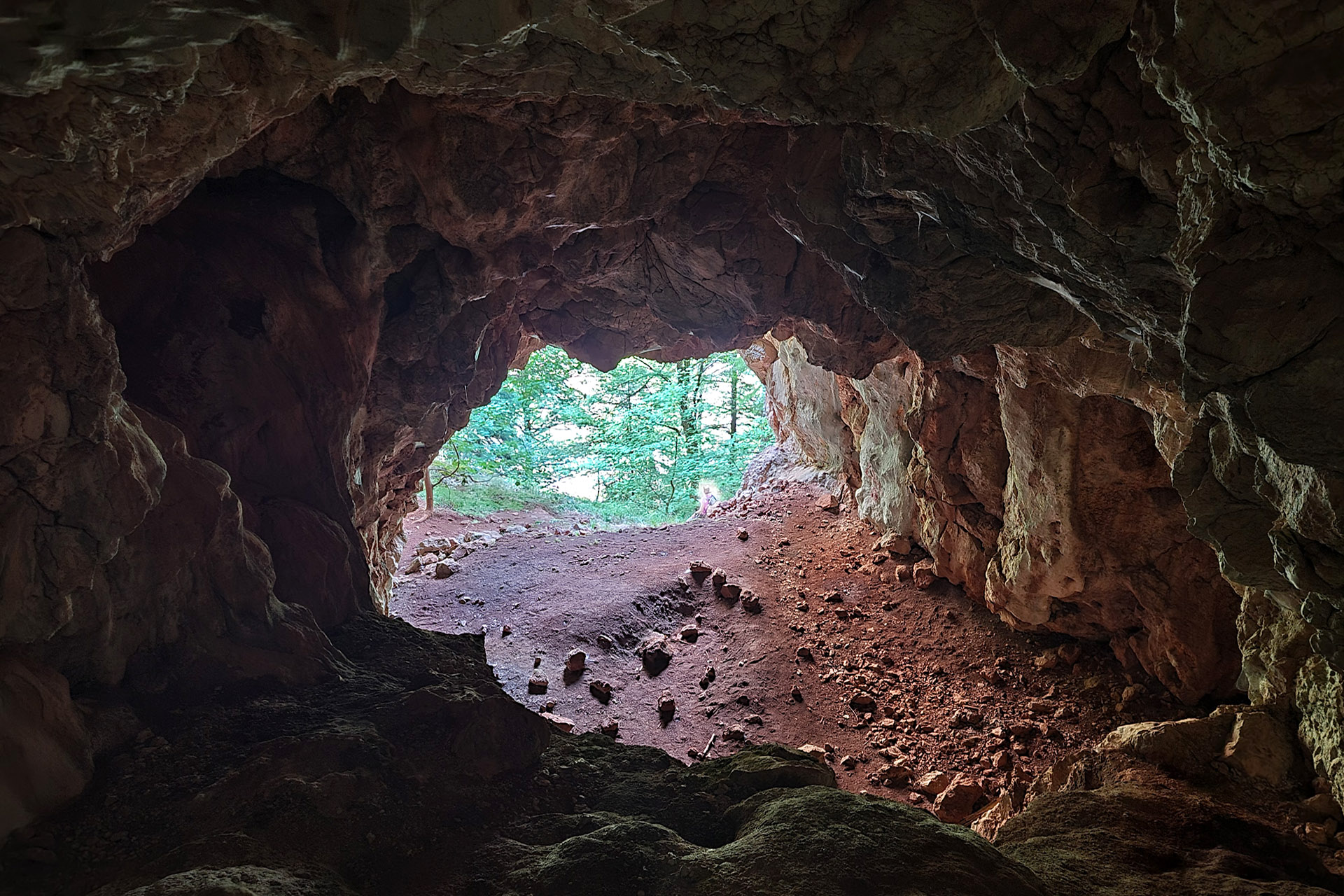
After about 100 metres we encounter a downhill road on our left that leads to the Guerrilla Hospital. The very steep downhill road gradually disappears and stone ruins can be discerned a little further down. Here was the site of the Guerrilla Hospital that has been completely destroyed. The route becomes difficult from this point forth since it winds along a steep slope and arrives at a large cave that served as the last refuge for the wounded when the air strikes had intensified in the region.
The Katafiki gorge below us is surrounded by huge rocks. We can also reach the cave through the river, at times when the water flow is scarce (at the end of summer), but once again with difficulty.
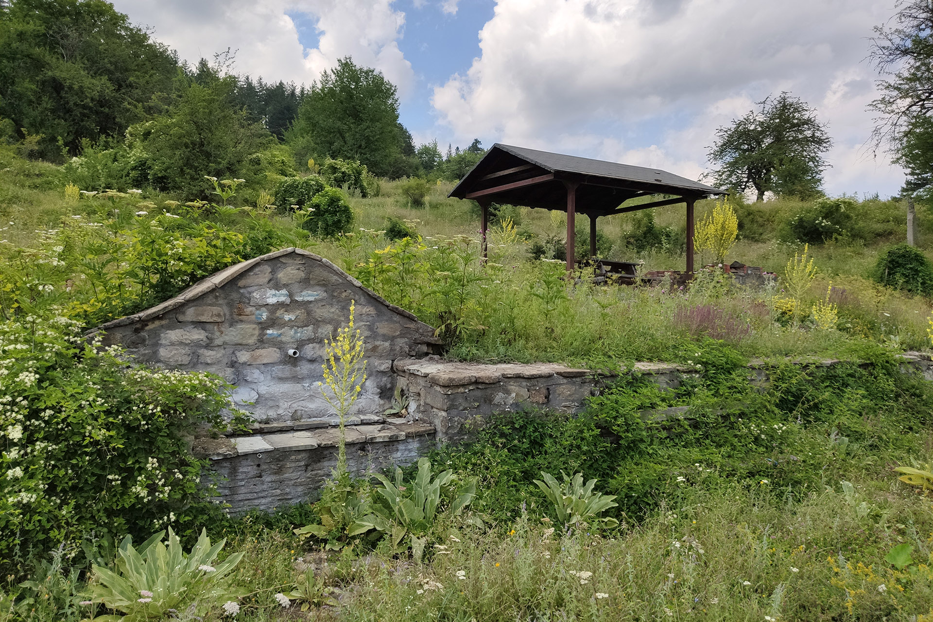
We return to the main route and follow the dirt road for a while, which we leave at a bend to once again enter a track. We will encounter the most well-preserved cobblestone sections of the Vlahostrata course here. The path once again divides a little further down. The right (southern branch) path follows a somewhat eroded slope, whilst the left (northern branch) path continues along the Vlahostrata course (which is less visible here) and terminates at a wide ravine that takes us to the spring and the kiosk beside the asphalt road.